
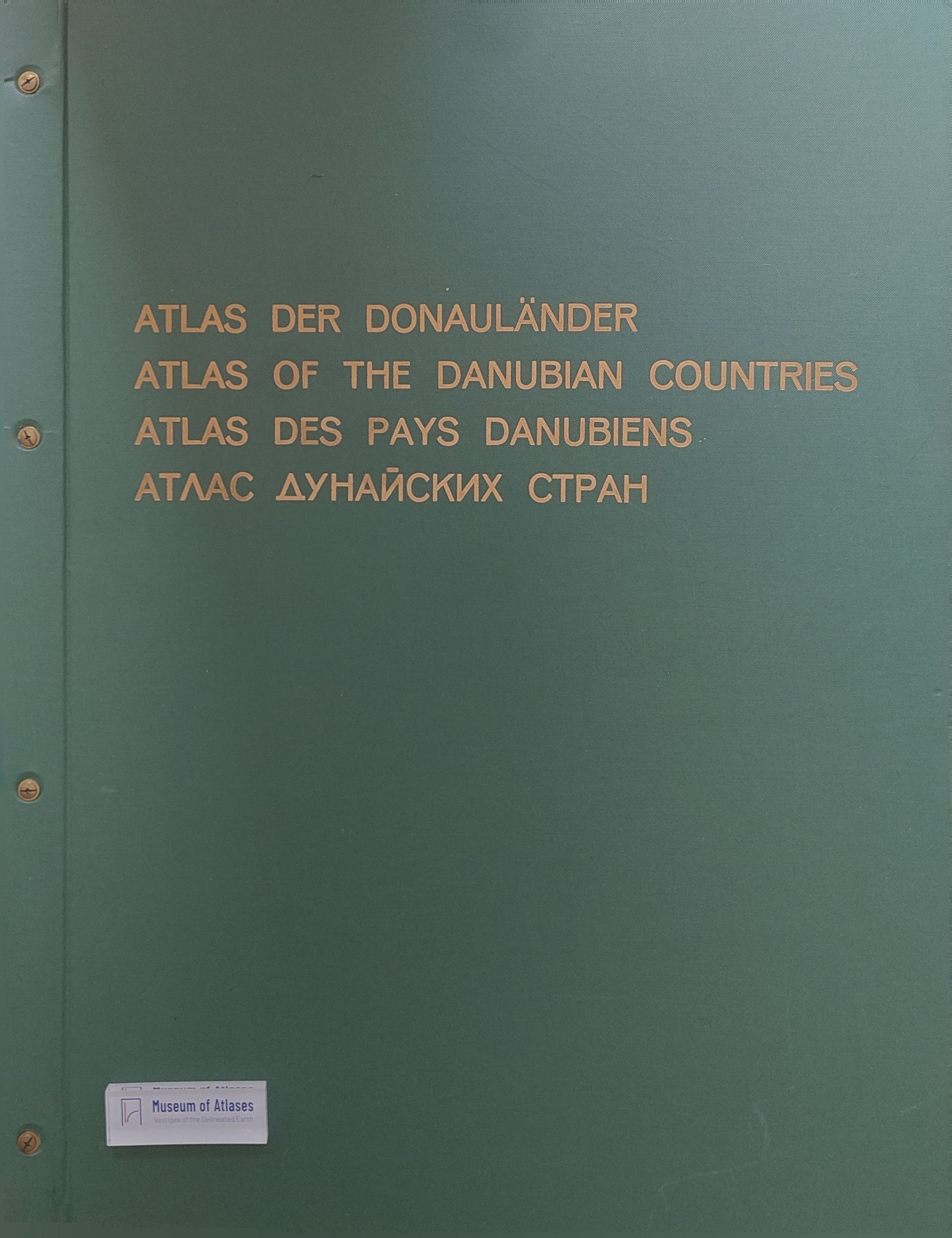
Reflections of the Editor upon Completion of the Atlas of the Danubian Countries
- Publication
- GeoJournal
- Volume
- 21
- Issue
- 3
- Pages
- 283-287
Summary
Josef Breu reviews the origins, compilation and results of the Atlas of the Danubian Countries, completed in 1989 after more than twenty years of work. Conceived in 1955 in connection with Austria’s aspiration to mediate between East and West, the project sought a cross-border geographical survey through cooperation with geographers throughout the region. The Austrian Institute for East and South-East European Studies coordinated compilation in Vienna, while the Federal Office of Weights and Measures handled technical cartography and printing. Published in eleven instalments between 1971 and 1989, the atlas comprises a Map Volume and an Index Volume, covering six countries completely and eight partially, mostly at 1:2,000,000. German, English, French and Russian legends and texts, together with an index of names and variants, supported its international use. Breu describes uneven research coverage, incompatible statistical classifications and administrative units, and missing data that required adjustments or omissions; cross-border comparability remained limited. His examples include geological and geomorphological legends, combined Thornthwaite climatic criteria, water-quality and erosion mapping, commuter catchments, interpretation of language statistics, industry estimates and railway development. He credits the contributors with approaching the intended comprehensive international survey while acknowledging these constraints. He suggests that the atlas may be among the last comprehensive thematic atlases produced by traditional methods and stresses that technical sophistication depends on resolving factual problems first.
Comments
Loading...
0/2000