
National Atlas of the United States of America, The
- Publication
- The History of Cartography, Volume 6: Cartography in the Twentieth Century
- Volume
- 6
- Pages
- 993–994
Summary
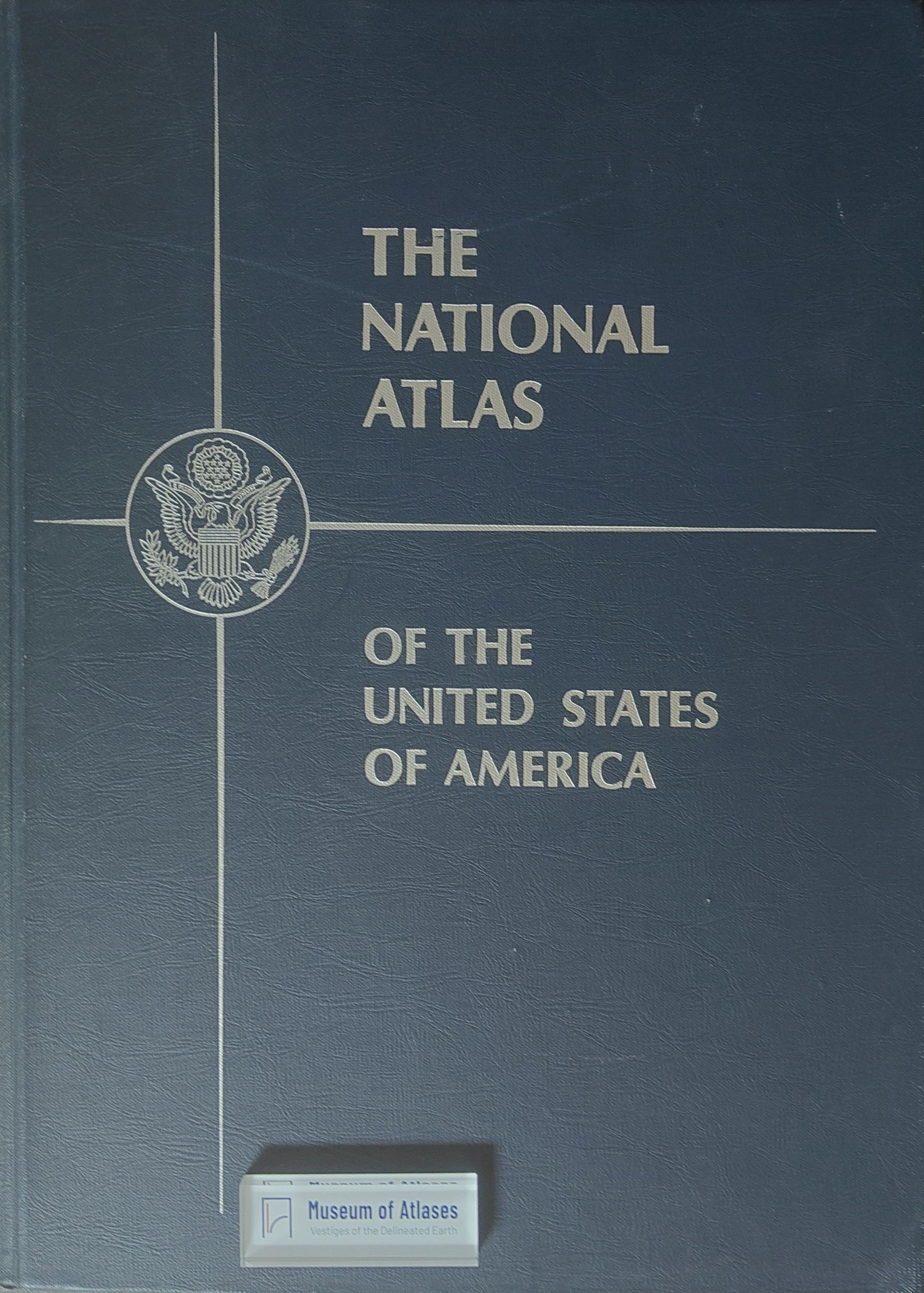
Jay Donnelly recounts the compilation, publication, and poor sales of The National Atlas of the United States of America (January 1970). Postwar advocacy led to a 1952 prototype designed by Samuel Whittemore Boggs; prospective commercial publishers declined to finance production. A National Academy of Sciences committee subsequently coordinated cartographic standards and government mapping efforts, producing eighty loose-leaf sheets. Responsibility passed to the USGS in 1961, with funding beginning in 1963 and Arch C. Gerlach serving as editor and project director. The finished atlas portrayed mid-1960s conditions through 765 maps organized into physical, historical, economic, and sociocultural sections, supplemented by regional base maps and an index of 41,000 geographic names. Despite favorable critical reception, sales fell well below forecasts: fewer than 9,000 books had sold by late 1973, while production costs exceeded $3 million. Remaining stock was discounted in 1975, and no second edition was approved. Revenue could not sustain an active program after 1977, although limited separate-map production continued. The article closes with the program’s 1997 reauthorization as Internet-delivered digital cartographic products and services.
Related Atlases
Comments
Loading...
0/2000