
← BackConference Paper
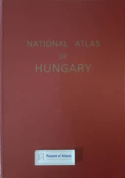
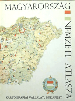
National atlas of Hungary
By Sándor Radó
- Publication
- Abstracts of Papers, International Geographical Congress, Norden 1960
- Pages
- 241-242
Summary
Sándor Radó outlines preparations for the National Atlas of Hungary, begun in 1959 following a recommendation from the International Geographical Union’s Committee of National Atlases. The atlas was planned to contain 96 map pages covering Hungary’s physical geography, agriculture, industry, transport, population, administration, and social and cultural conditions. His account includes comparison of its content organization with that of about 15–20 foreign national atlases and discussion of the principles and methods for individual maps. Radó states the intention to show as many interconnected factors as possible on each map to aid understanding.
Related Atlases
Comments
Loading...
0/2000