
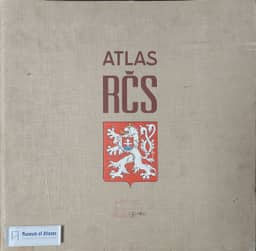
Literature. Atlas of the Czechoslovak Republic
Literatura. Atlas Republiky Československé
- Publication
- Časopis Matice moravské
- Volume
- 60
- Issue
- 4
- Pages
- 514-522
Summary
The review assesses the 1935 Atlas of the Czechoslovak Republic, edited by Jaroslav Pantoflíček and prepared over fifteen years. Its 55 sheets contain 504 maps and cartograms by 55 contributors, accompanied by explanatory text edited by Václav Láska. The reviewer praises its drawing and printing at the Military Geographical Institute and regards its treatment of statistical data as its greatest contribution. Map-specific scales derived from frequency curves distinguish normal, above-normal and below-normal values; Antonín Boháč’s demographic maps also use substantive analysis to determine class boundaries. His nationality map combines population proportions and absolute numbers, although the reviewer criticizes potentially misleading symbol placement. The review also notes inconsistent reference dates, methodological differences and defects in individual maps. Economic subjects occupy 49% of the maps, demography 25.8% and natural conditions 12.5%. The reviewer argues that this analytical emphasis inadequately serves the editors’ aim of informing foreign audiences about the country: geographical synthesis, cultural landscapes and regional development receive insufficient attention. He concludes that the atlas demonstrates the strength of Czechoslovak statistics but represents a missed opportunity for geography.
Comments
Loading...
0/2000