
Introduction to the National Economic Atlas of China
《中国国家经济地图集》介绍
- Publication
- 地图
- Issue
- 4
- Pages
- 3–6
Summary
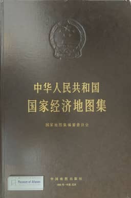
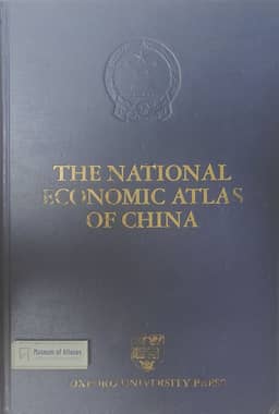
D. R. F. Taylor reviews the National Economic Atlas of China and its compilation. Its 265 maps include 135 using counties and cities as basic units and 50 depicting industrial enterprises; more than 500 socioeconomic variables reveal regional disparities and industrial spatial relationships. Taylor highlights the economic center’s shift toward eastern and southern China. Under State Planning Commission leadership, more than twenty ministries and commissions supplied data, supplemented by annual statistics, the 1985–1986 industrial census, and the 1982 and 1990 population censuses. Security review enabled publication of sensitive material, which Taylor associates with greater openness. He details the industrial census’s multilevel manual and computerized quality controls and regards the two principal census sources as highly reliable. He also notes limited quality studies for other data, inconsistent reference dates, and possible error propagation from derived maps. Compilation involved database restructuring, computer-assisted classification, interactive editing of overlapping symbols, specialized indices, and computer-controlled printing. Ten sections of explanatory text, totaling over 200,000 Chinese characters, supplement maps referring to different dates in 1985–1990 and provide updated information. Taylor judges the atlas’s depiction broadly credible and not exaggerated, while advocating electronic atlases to accommodate continuing change. His acknowledgments document Canadian funding for English-edition production and collaboration with Chinese colleagues, editorial and administrative assistants, and Oxford University Press staff.
Related Atlases
Comments
Loading...
0/2000