
Introduction to Foreign Atlases: Atlas of Australian Resources
外国地图集简介: 《澳大利亚资源地图集》
- Publication
- 专题地图与地图集编制
- Pages
- 215
Summary
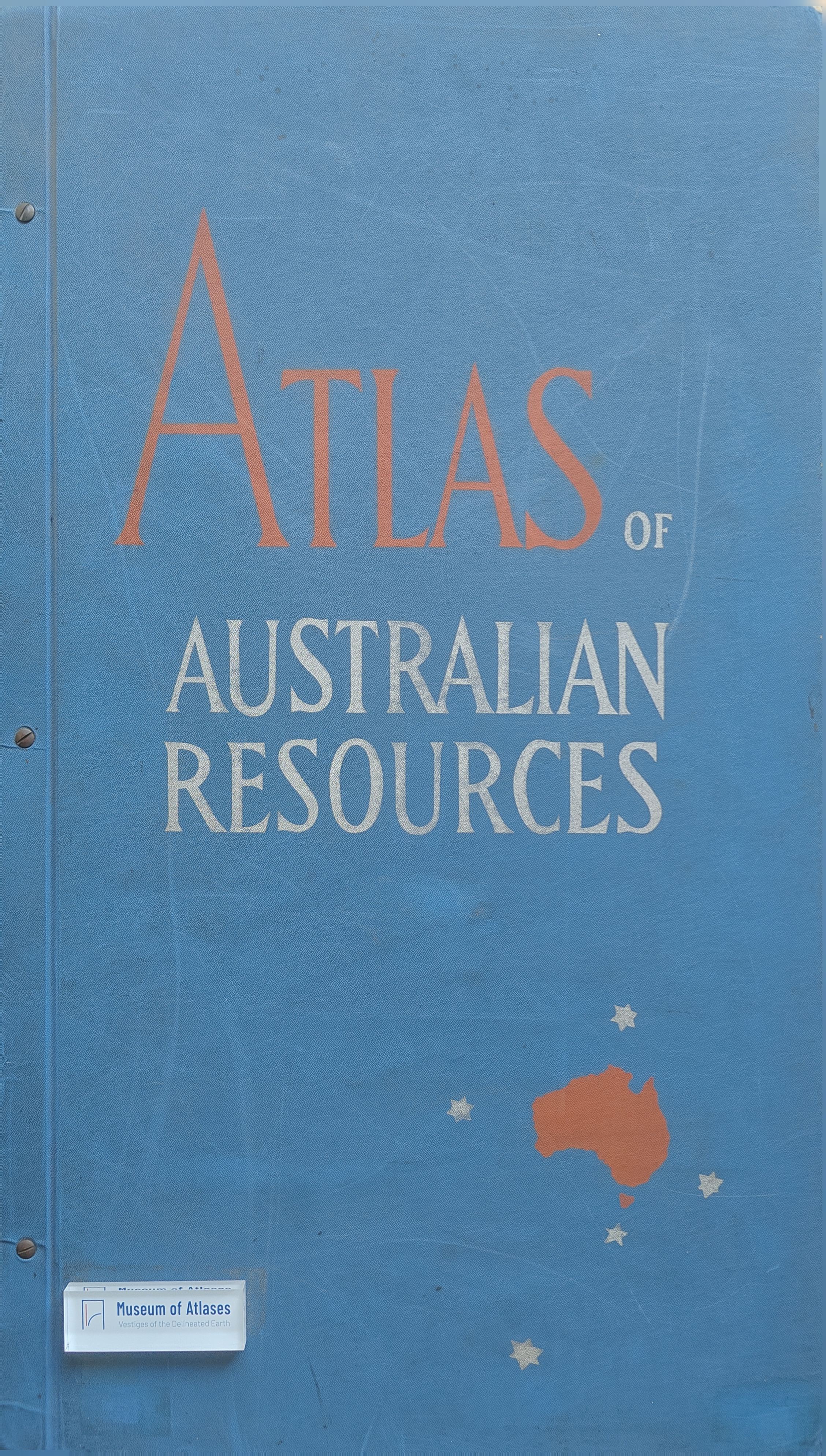
This review describes the Atlas of Australian Resources, compiled by the Australian Department of National Development and completed in 1960 through successive loose-leaf releases. Its 30 pages contain 82 maps; the sheets also serve as wall maps, fold into a box, and have accompanying explanatory booklets containing charts, sketch maps, and photographs. The atlas covers agriculture, population, transport, education, and health, with particular attention to water resources in Australia's dry climate. It records construction projects at different stages to show development potential. The reviewer praises its combined mapping methods, including rainfall backgrounds for vegetation and land use, population-density backgrounds for roads and public facilities, and the arrangement of climate maps. The review criticizes the legends and representation methods of the ports and shipping map and calls for an animal-geography map.
Related Atlases
Comments
Loading...
0/2000