
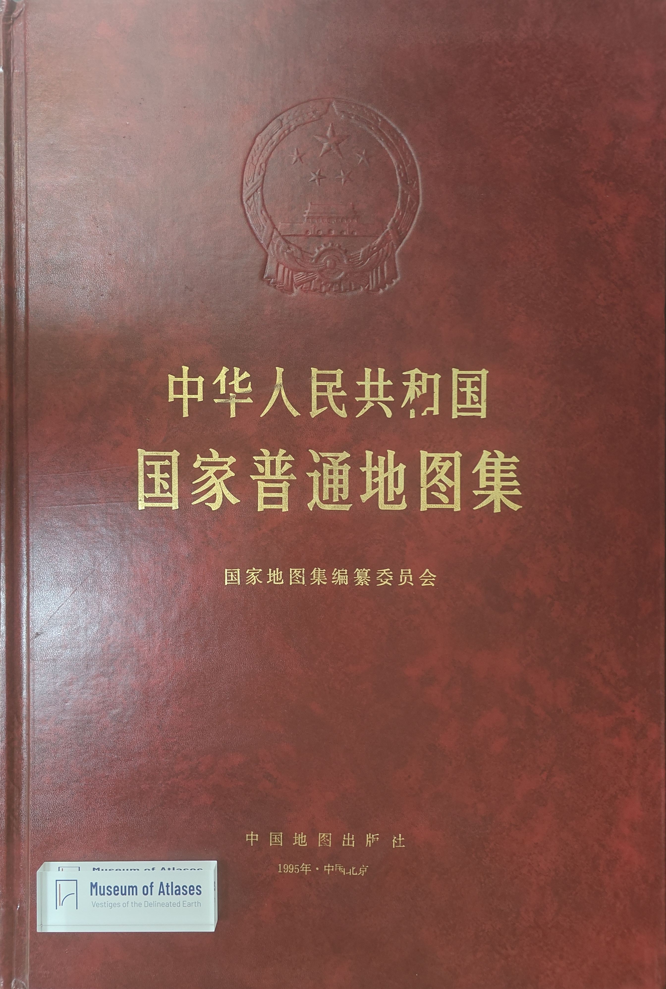
Historic contribution of cartography: congratulating the publication of the National General Atlas
地图学的历史性贡献:祝贺《国家普通地图集》出版
- Publication
- 地图
- Issue
- 2
- Pages
- 60-62
Summary
Gao Jun celebrates the 1995 publication of the National General Atlas of the People’s Republic of China as the first volume of the national-atlas series and an achievement embodying generations of surveying and mapping work. He recalls that the national-atlas project was proposed in 1958 and took more than thirty years to reach publication amid cultural and scientific upheaval. Most of the article explains how maps support spatial cognition: forming mental images, comparing distributions, identifying spatial relationships, combining statistics with location and correcting geographical misconceptions. Gao discusses how atlases integrate space and time, use nested scales and thematic maps to deepen understanding, and teach readers to interpret cartographic representations; he specifically praises the General Atlas’s design for following principles of visual perception. Addressing databases, electronic atlases, GIS and virtual reality, he recognizes technological advances and challenges while arguing that national and scholarly atlases retain value as records of scientific knowledge and accessible tools for visualizing spatial data. He also expects national-atlas production to provide organized information for national infrastructure and train personnel for computerized cartography.
Related Atlases
Comments
Loading...
0/2000