
Geography and cartography at the meeting of the Swiss Society of Natural Sciences in Solothurn
Geographie und Kartographie an der Tagung der Schweiz. Naturforschenden Gesellschaft in Solothurn
- Publication
- Geographica Helvetica
- Volume
- 21
- Issue
- 4
- Pages
- 196-200
Summary
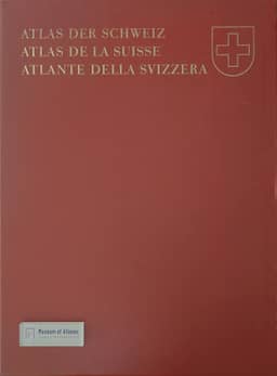
This report covers geography and cartography at the Swiss Society of Natural Sciences’ 1966 Solothurn meeting, chiefly the printed Atlas of Switzerland. Erich Bugmann’s opening lecture grew from work on its 1:500,000 geomorphological map and examined the roles of the Würm-age Rhône Glacier and marginal glacial waters in shaping the western Swiss Plateau. Eduard Imhof recounts more than 25 years of preparation by the association of Swiss geographical societies and the need to await new national topographic maps as a geometric base. Following the Federal Council’s 1960 decision, ETH undertook compilation and drawing, while the Federal Office of Topography handled technical production and publishing. Two installments, issued in 1965 and 1966, contained 89 maps; the second covered political divisions, vegetation, population, languages, religions, rural buildings, Basel, forestry, conservation, land improvement and regional topography. The specialist reports explain compilation choices and work still underway. Max Schüepp discusses separating regional temperature differences from altitude and local exposure, alongside completed and planned maps of sunshine, snow, precipitation and weather. Max Gschwend explains the use of 22 actual rural buildings, supplementary plans and point symbols to represent overlapping forms and construction materials. Erich Schwabe outlines planned tourism maps combining accommodation—including private lodgings investigated through supplementary surveys—with population, seasonal functions and transport; later sheets would address visitor frequencies and resort structures. Drawing on a limited survey of Vaud secondary schools, Ernest Paillard identifies teacher preparation, classroom access and atlas dimensions as obstacles and recommends seminars, slides and commentary booklets. Heinrich Gutersohn credits the atlas with enabling scientific mapping, exposing research gaps and encouraging interdisciplinary coordination, while emphasizing the selection, generalization and synthesis required by thematic cartography. Imhof also presents it as a resource for national and regional planning.
Comments
Loading...
0/2000