
Geographical reviews: Atlas of the Netherlands Indies
- Publication
- Geographical Review
- Volume
- 29
- Issue
- 3
- Pages
- 516-517
Summary
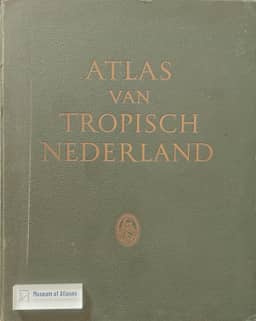
The review assesses Atlas van Tropisch Nederland (1938), produced jointly by the Royal Netherlands Geographical Society and the Topographical Service of the Netherlands Indies. Planning began in 1909, but drafting started only in 1928 with government assistance. Its 31 double plates contain 31 large and 135 small maps, almost all in full color. The contents record scales and compilation and revision dates; the contents and full legends appear in Dutch, French, German, and English. Coverage includes relief, natural conditions, history, population, languages, education, and economic activity. The reviewer praises the atlas and its large-scale relief maps, while criticizing inconsistent hypsometric colors, shading that obscures elevations, an unclear land-use diagram, and the omission of a map of European plantations in Java. The final two plates cover Dutch possessions in the New World with less detail, which the reviewer interprets as reflecting the unequal value of the East and West Indies to the Netherlands.
Comments
Loading...
0/2000