
Creation Experience of "The National Atlas of Russia"
- Publication
- Proceedings of the 25th International Cartographic Conference
- Pages
- CO-373
Summary
Krayukhin, Pozdnyak and Ryabchikova describe the planning, compilation and contents of the four-volume National Atlas of Russia. Discussion of a national atlas developed from the late 1950s and early 1960s; practical preparation included a late-1980s Moscow State University report commissioned by Kartografija. A 1994 federal programme supported the project, and specialists prepared a ten-volume concept in 1995, with a 57 × 45 cm format and a proposed national map scale of 1:10,000,000. Funding shortages prevented approval of that edition. Kartografija and Roscartographya reduced the format to 43 × 29.5 cm, adjusted scales and reorganized the contents, using existing cartographic work to facilitate compilation of Volume 1. The article dates the four volumes to 2004, 2007, 2008 and 2008. Each volume contains 496 pages. Volume 1, General Characteristics of the Territory, covers geography, territorial formation, exploration, mapping and federal divisions, with a place-name index exceeding 53,000 entries. The authors identify its integrated history of territorial formation and mapping as a first in Russian atlas cartography. Volume 2, Nature and Ecology, covers natural conditions and resources, environmental evolution, human impacts and conservation in fifteen sections. Volume 3, Population and Economy, addresses population, social development, economic sectors and regional development. It draws on official statistics, including the 2002 census, combines several socioeconomic mapping approaches and uses analytical, complex and synthetic levels of generalization. Volume 4, History and Culture, expands Volume 1’s historical coverage and maps cultural and natural heritage, modern cultural institutions and heritage protection. The authors describe coordination within and between volumes, thematic maps on a common cartographic base, and mapping at global/Eurasian, national, regional and local levels. About 1,000 contributors from more than fifty scientific organizations participated, with map compilation and preparation using GIS–Neva. They present the atlas as an official state reference resource for research, education and public administration. Electronic editions of the first three volumes had been released; an electronic fourth volume and GIS editions of all four remained planned. The article concludes with awards received by Volumes 1–3 and the complete set, including the GEO-SIBIR-2010 gold medal.
Related Atlases
National Atlas of Russia in Four Volumes, Volume 2: Nature and Ecology
Russia · 2007
National Atlas of Russia in Four Volumes, Volume 1: General Characteristics of the Territory
Russia · 2005
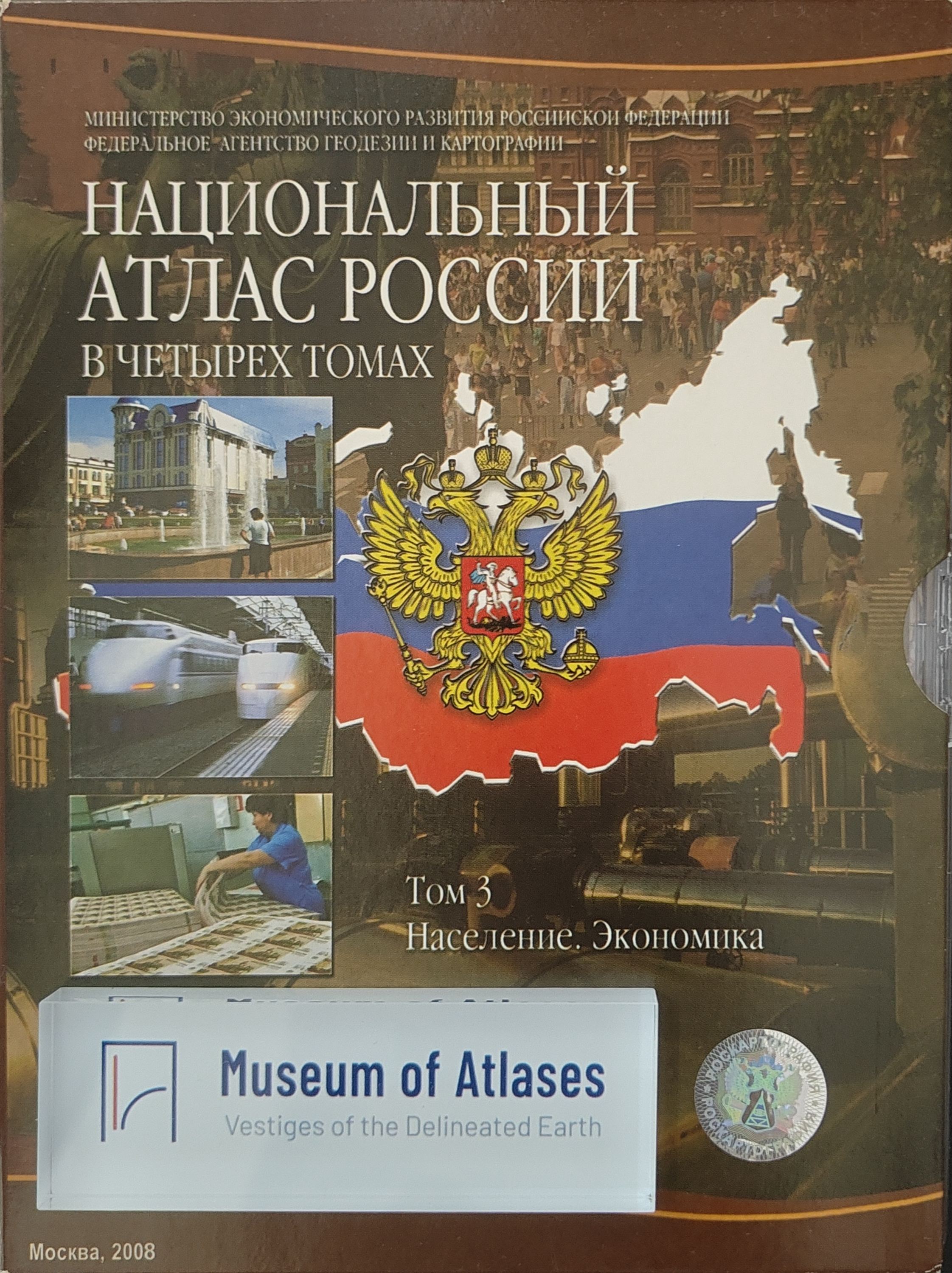
National Atlas of Russia, Volume 3: Population. Economy
Russia · 2008
National Atlas of Russia in Four Volumes, Volume 3: Population. Economy
Russia · 2008
National Atlas of Russia, Volume 4: History. Culture
Russia · 2008
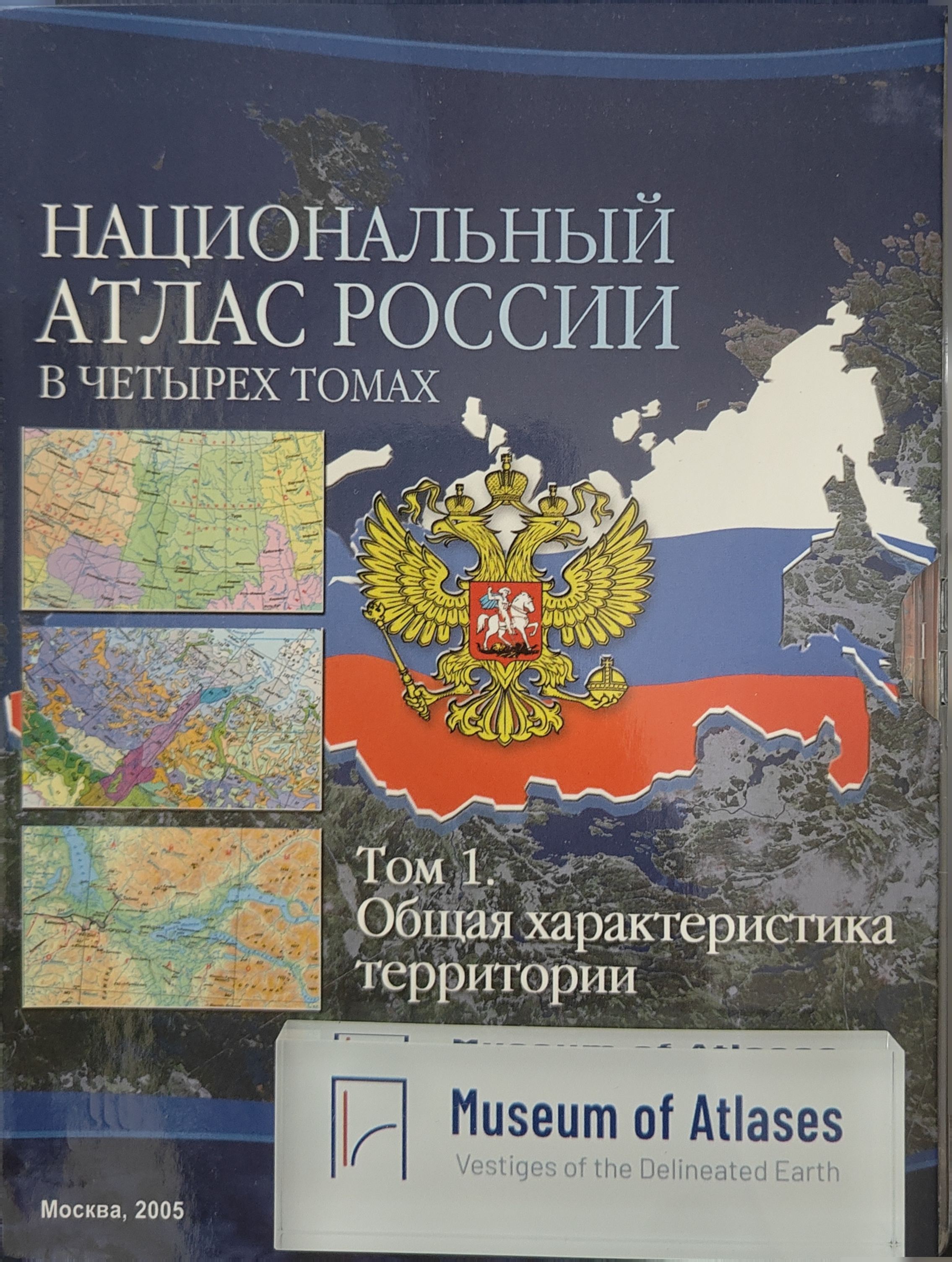
National Atlas of Russia, Volume 1: General Characteristics of the Territory
Russia · 2004
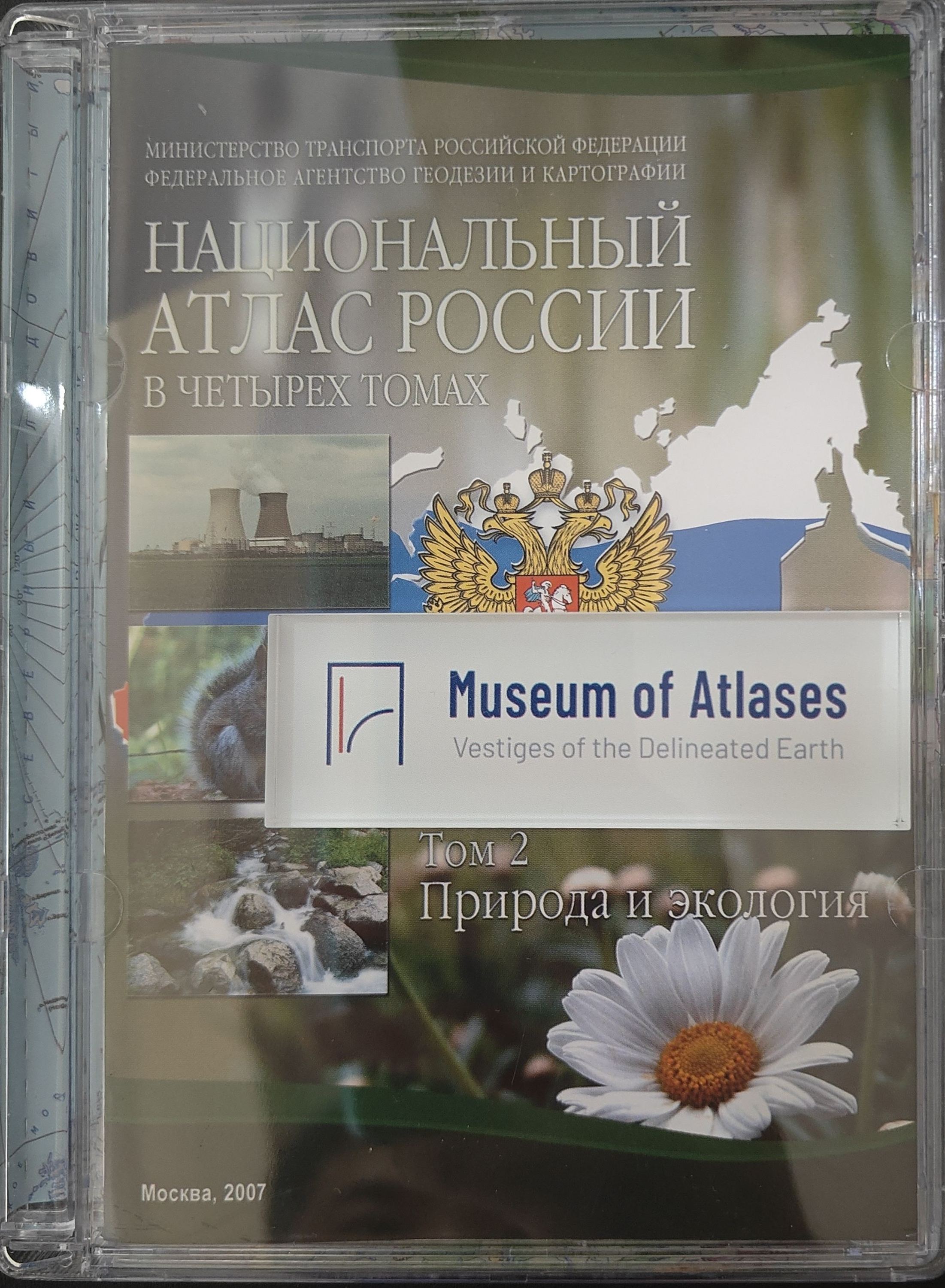
National Atlas of Russia, Volume 2: Nature. Ecology
Russia · 2007
National Atlas of Russia in Four Volumes
Russia · 2011
Comments
Loading...
0/2000