
Cartographical progress: National Atlas of China
- Publication
- The Geographical Journal
- Volume
- 130
- Issue
- 4
- Pages
- 575-576
Summary
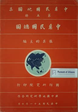
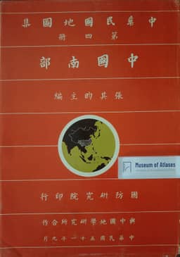
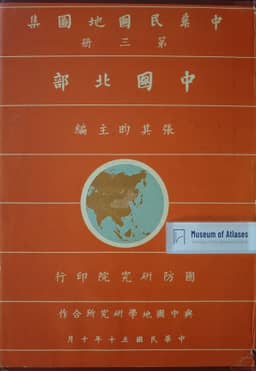
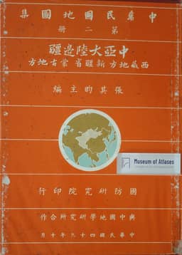
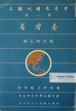
The review examines Chang Chi-yun's five-volume National Atlas of China, published by the National War College with the Chinese Geographical Institute in 1959–62. It places the work alongside the 1718 imperial atlas, based on a geodetic survey assisted by Jesuit cartographers and Tartar mathematicians and later issued in d'Anville's French version, and the 1934 Shun Pao atlas, compiled, drafted and edited at the Geological Survey of China using its map collection. The reviewer describes the new atlas's Nationalist boundary positions: inclusion of Outer Mongolia and Tannu Urianhai, rejection of the MacMahon Line, and retention of administrative divisions predating changes by the People's Republic. The reviewer consequently finds its political maps of limited use for studying contemporary China. Each province or region has paired political and topographical maps at the same scale, although scales vary across regions; the review compares this arrangement with the Shun Pao atlas's uniform regional scales and finds the English index easier to use than the Chinese stroke-count index. It praises Volume V's major-languages map and Volume I's 57 Taiwan maps, including eleven regional maps at 1:250,000 showing relief, administrative and other cultural features. It also highlights Volume IV's Hainan Special Administration District map for depicting Nationalist claims across the South China Sea to 4° N.
Related Atlases
Comments
Loading...
0/2000