
Cartographical progress: Atlas of the Union of South Africa
- Publication
- The Geographical Journal
- Volume
- 129
- Issue
- 3
- Pages
- 369-370
Summary
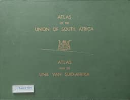
The review assesses the Atlas of the Union of South Africa, compiled by A. M. Talbot and W. J. Talbot of the University of Cape Town and published in 1960. Begun in 1947 to address gaps in information for post-war planning, it received research funding and contributions from government departments, private organizations and individuals; the Trigonometrical Survey Office assisted with preparation for printing. Its seven sections cover natural resources, climate and water, population, agriculture, industries and occupations, transport, and external trade. The 598 maps have English and Afrikaans text and captions, and only four are in colour. The introduction documents sources, methods and reliability, including reconstruction of earlier statistical districts, fieldwork and other first-hand evidence, and difficulties mapping complex European and African tenure patterns. The reviewer praises the compilation’s care and its treatment of changes since 1911, judges dots and pie graphs especially successful, and criticizes spheres, choropleth shading and the austere, predominantly monochrome presentation. Despite these limitations, the reviewer regards the atlas as a high-standard scientific work valuable for geographical analysis.
Comments
Loading...
0/2000