
Antarctic Map Folio Series
- Publication
- Antarctic Journal of the United States
- Volume
- 5
- Issue
- 5
- Pages
- 197
Summary
Vivian C. Bushnell reports on published and planned folios in the American Geographical Society’s Antarctic Map Folio Series. Folios 12 and 13 appeared in August. Geologic Maps of Antarctica, prepared since 1965 with contributions from 25 geologists in eight countries, contains 17 regional plates, mostly at 1:1,000,000, five continent-wide plates, and a Gondwanaland map. Bushnell argues that geological similarities between Antarctica and other southern landmasses support the Gondwanaland hypothesis. Folio 13 combines A. L. Gordon and R. D. Goldberg’s 18 plates on circumpolar waters—standard-level temperature, salinity and oxygen distributions, a station map, and meridional profiles—with K. Hunkins’s plate showing seasonal sound-channel velocities and variations in channel depth. Bird and fish folios are scheduled for the next few months. The bird maps, compiled under George Watson’s supervision, show breeding sites and specimen and sighting records; a bibliography will document breeding localities and northernmost records, and some southernmost records, while Watson will supply explanatory text. Hugh DeWitt’s fish maps locate coastal and deep-water occurrences, with other researchers’ data still to be added. Further folios in preparation cover bathymetry and subglacial topography, marine sediments and fossil foraminiferal localities, exploration and scientific investigation, and Antarctic mammals.
Related Atlases
Antarctic Map Folio Series, Vol. 15: Coastal and Deep-Water Benthic Fishes of the Antarctic
· 1971
Antarctic Map Folio Series, Vol. 13: Circumpolar Characteristics of Antarctic Waters and Sound Channels in Antarctic Waters
· 1970
Antarctic Map Folio Series, Vol. 12: Geologic Maps of Antarctica
· 1970
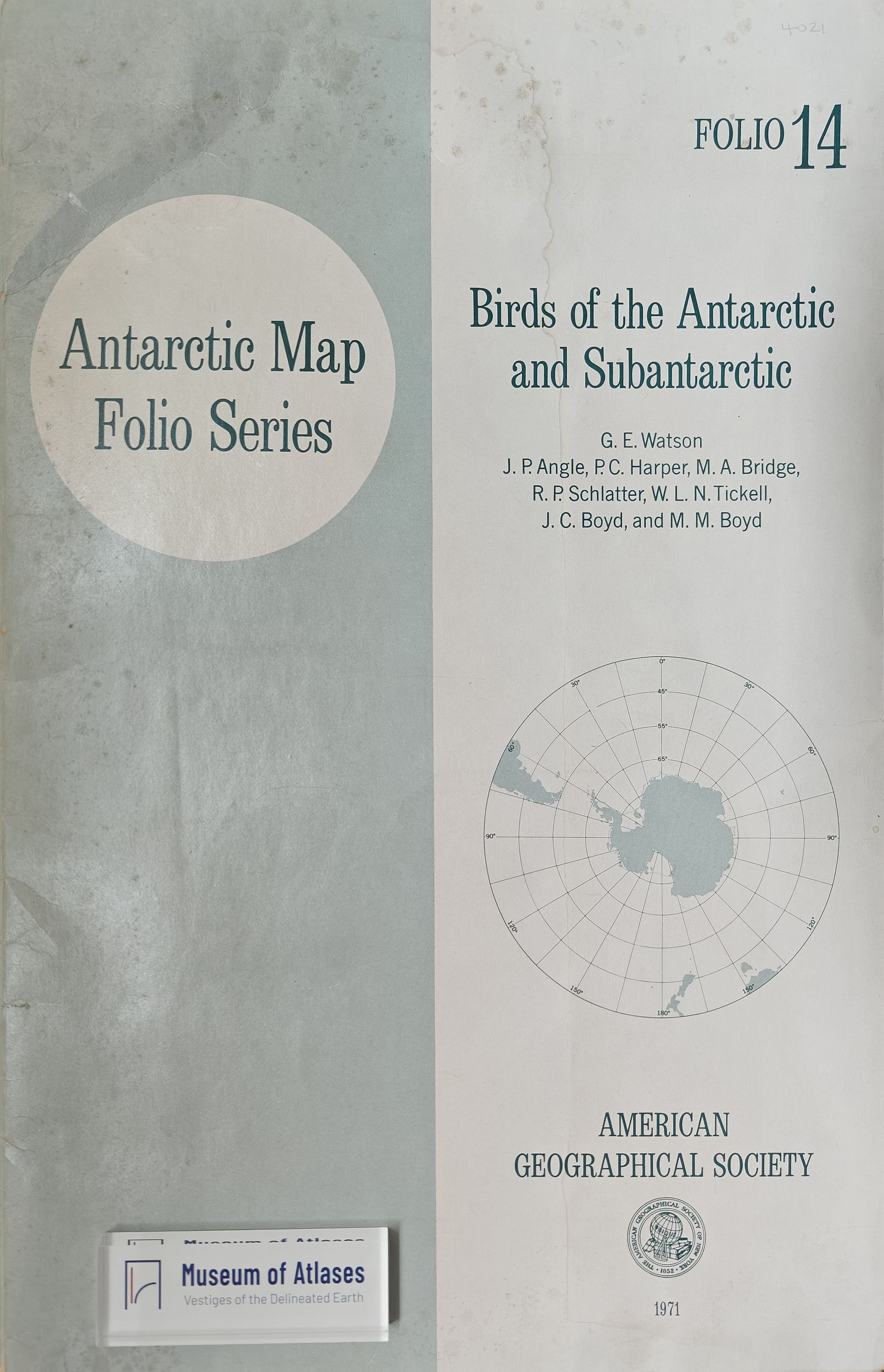
Antarctic Map Folio Series, Vol. 14: Birds of the Antarctic and Subantarctic
· 1971
Comments
Loading...
0/2000