
Antarctic Map Folio Series
- Publication
- Antarctic Journal of the United States
- Volume
- 2
- Issue
- 5
- Pages
- 205
Summary
Vivian C. Bushnell reports on the Antarctic Map Folio Series, whose preparation began in 1962: eight of the eighteen planned folios had appeared or were expected by the end of 1967. The article describes Folios 4–8, with Folios 7 and 8 still in press. For the two atmospheric folios, the National Weather Records Center compiled the plates and W. S. Weyant wrote the text. Folio 4 maps seasonal thermal conditions, circulation, and tropopause heights, with graphs of humidity and tropopause conditions. Folio 5 combines maps of recorded plant and land-arthropod occurrences, color photographs, and discussion of environments and geographical distributions. Arnold L. Gordon’s Folio 6 presents fourteen plates on water structure between 20°W and 170°W, including temperature, oxygen, and salinity core layers, dynamic topography, and the Polar Front Zone. John Mercer’s Folio 7 summarizes available information on glaciers of Antarctic oceanic islands and mountains through maps, text, and tables. Folio 8 presents temperature, cloud, cyclone-track, and wind maps and graphs, including records of days with blowing snow.
Related Atlases
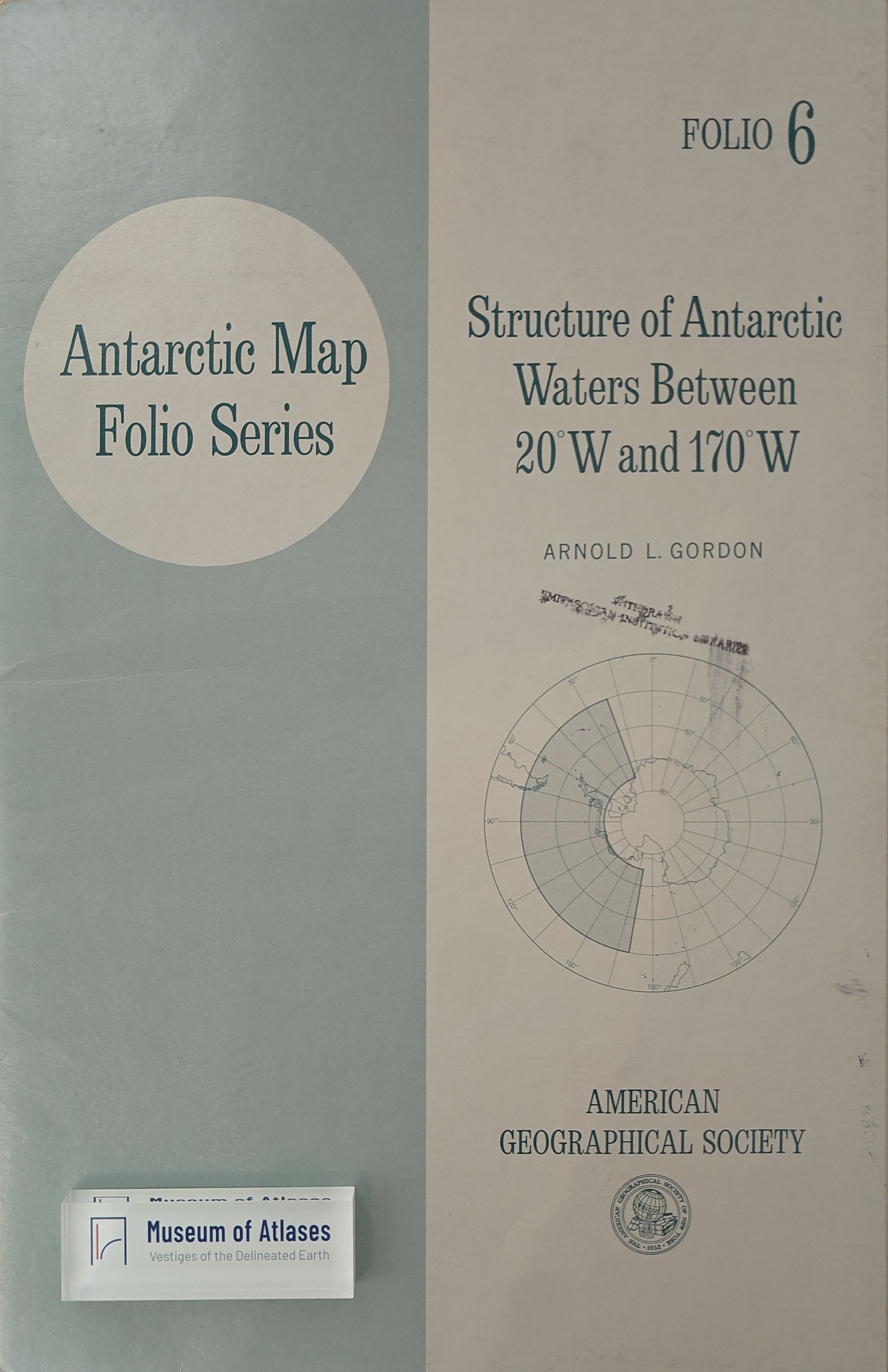
Antarctic Map Folio Series, Vol. 06: Structure of Antarctic Waters Between 20°W and 170°W
· 1967
Antarctic Map Folio Series, Vol. 04: The Antarctic Atmosphere: Climatology of the Troposphere and Lower Stratosphere
· 1966
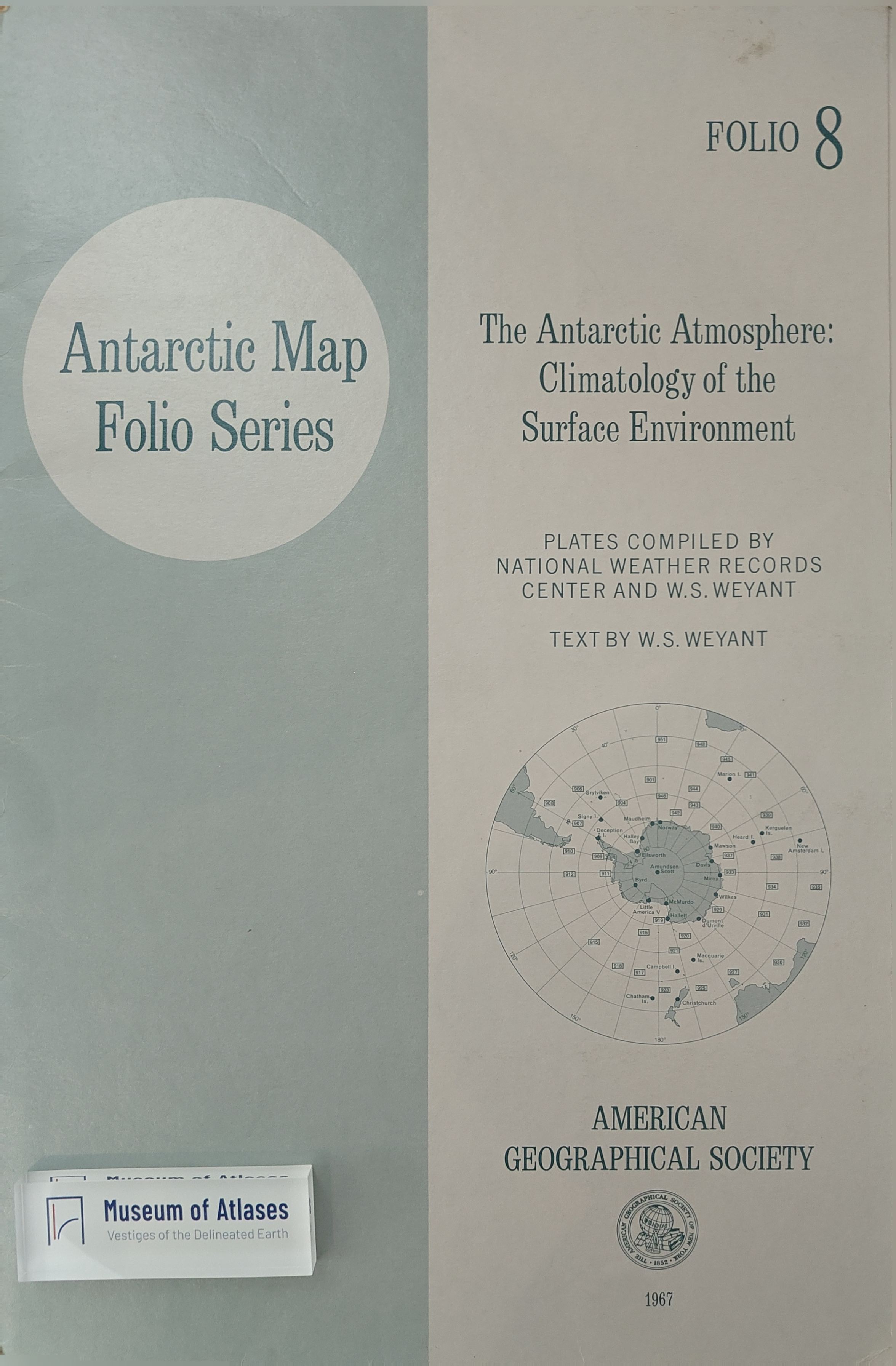
Antarctic Map Folio Series, Vol. 08: The Antarctic Atmosphere: Climatology of the Surface Environment
· 1967
Antarctic Map Folio Series, Vol. 07: Glaciers of the Antarctic
· 1967
Antarctic Map Folio Series, Vol. 05: Terrestrial Life of Antarctica
· 1967
Comments
Loading...
0/2000