
A Milestone in Chinese Cartography: A Delightful Read of the National General Atlas
我国地图学成就的一个里程碑:喜读国家普通地图集
- Publication
- 地图
- Issue
- 2
- Pages
- 47
Summary
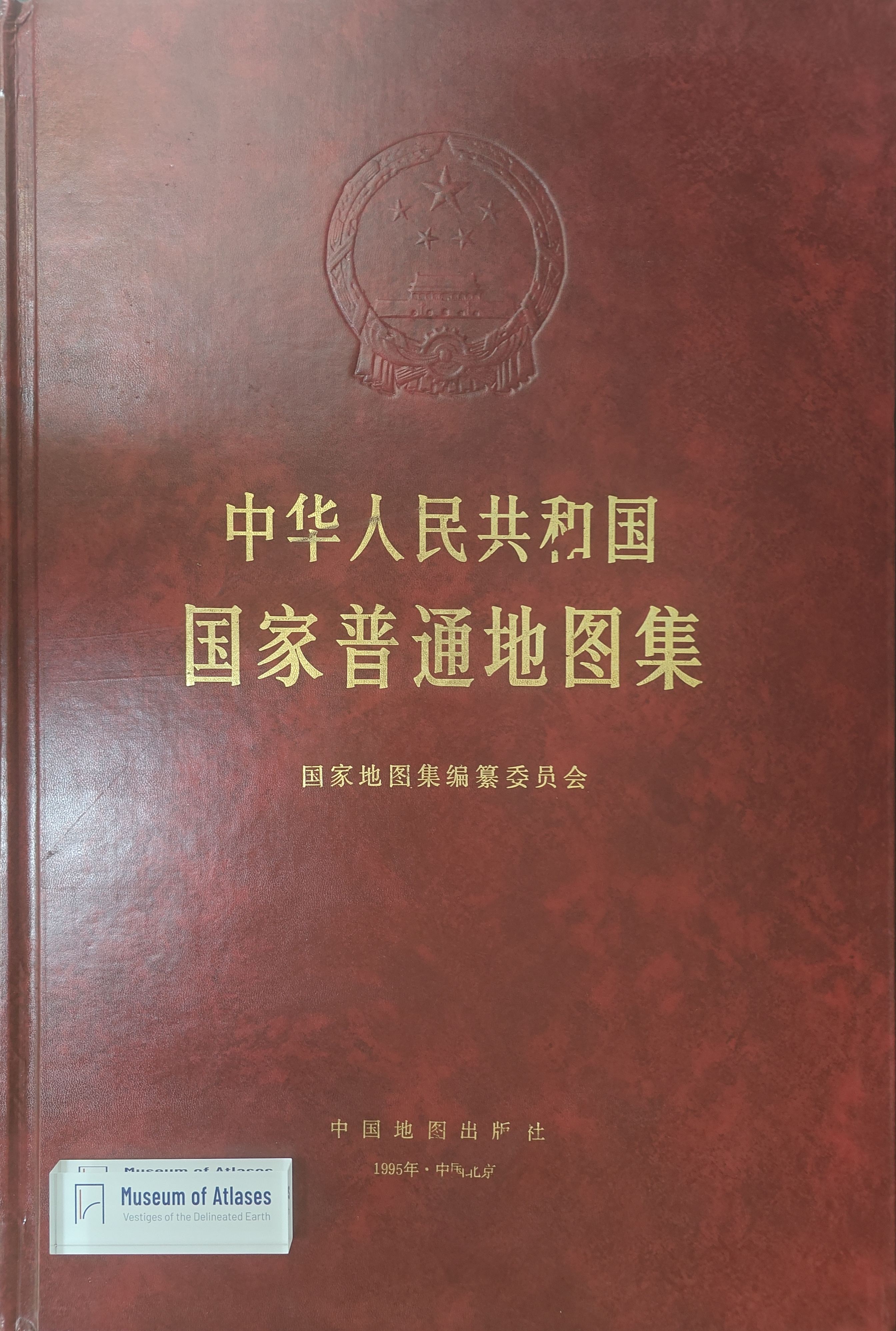
Hu Yuju reviews the National General Atlas of the People’s Republic of China, published by China Cartographic Publishing House in 1995 as the first volume of the national atlas series. He traces the project to the national science development plan and the start of compilation in 1958. Work was disrupted during the Cultural Revolution; the completed provincial maps appeared separately in 1969, while the general atlas reached publication nearly thirty years late. The atlas contains 180 pages of introductory, regional and provincial maps, with enlarged-area and city maps, followed by a 99-page place-name index. Hu praises its binding, provincial map units pairing full provincial maps with capital-city or enlarged maps, clear typography and harmonious colors despite dense information, and detailed sea charts and drainage mapping. He highlights projections selected for each map’s location, shape, extent and subject, with projection centers or standard parallels specified. He attributes outdated content, especially in city maps, to compilation and production delays amid rapid urban change, and briefly advocates computer cartography to improve currency. He judges the atlas a new high point in China’s atlas compilation theory and technique.
Related Atlases
Comments
Loading...
0/2000