
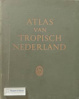
The newly published atlas of the tropical Netherlands
- Publication
- Comptes rendus du Congrès International de Géographie, Amsterdam 1938
- Volume
- Volume II, Part 2, Section I - Cartography
- Pages
- 125-132
Summary
J. L. H. Luymes introduces the newly published Atlas van Tropisch Nederland, whose maps were composed by the Royal Netherlands Geographical Society and reproduced by the Topographical Service at Batavia. He recounts a decades-long publication effort disrupted by the First World War's financial consequences and the world depression. Intended for practical use and a cartographic survey of science and human activity, the atlas covers the Netherlands East Indies, Surinam and the Netherlands Antilles through general, regional and thematic maps. Luymes describes scale choices, elevation colours, contours and shading, distinguishing surveyed contours from estimates and noting the reliability information supplied in legends. Sources and multilingual explanations accompany the maps; compilation and completion dates document sheets of differing currency despite proof-stage updates. He surveys expert-supplied thematic maps of physical geography, meteorology, biogeography, geophysics, geology, human and economic geography, and history, including distinctions between nominal and actual colonial authority and comparisons of export values before and during the depression.
Comments
Loading...
0/2000