
The National Atlas Project in Japan
- Publication
- Seventh United Nations Regional Cartographic Conference for Asia and the Far East: Volume II, Technical Papers
- Pages
- 384–386
Summary
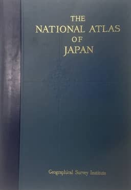
This report describes Japan’s five-year national atlas project for 1971–1975 and its progress through 1973. The Geographical Survey Institute of the Ministry of Construction is responsible for planning, compilation and publication, supported by a committee of government officials and scholars that coordinates data collection and reviews content and cartographic representation. The atlas is planned as an approximately 400-page volume with 15 sections covering physical conditions, population, the economy, society and culture, and regional and city maps, with separate Japanese and English editions. Twenty-eight maps were compiled in 1971–1972, while further compilation and trial printing were under way. Compilation principles emphasize nationally standardized, recent data with minimal differences in survey timing, together with consistent symbols, statistical classes and representational units to facilitate comparison. The report also describes staff training and coordination between compilation and reproduction, and discusses scribing, polyester bases, punched registration, four-colour offset printing, and trials of colours, screens and paper.
Related Atlases

Comments
Loading...
0/2000