
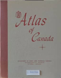
The Atlas of Canada
- Publication
- Canadian Geographical Journal
- Volume
- 58
- Issue
- 1
- Pages
- 32-34
Summary
N. L. Nicholson describes the planning, compilation and contents of the new Atlas of Canada, placing it after the government atlases of 1906 and 1915, which he regards as milestones in national-atlas publishing but now outdated. Federal action began in December 1948, with the Geographical Branch responsible and an interdepartmental committee coordinating contributions. The atlas was intended to document Canada's resources, their use, and economic, social and political development as of 1951. Compilation used a Lambert conformal conic base map at 1:10,000,000 and related scales; contributors supplied material ranging from prepared maps to raw statistics, supplemented by provincial and private sources. Nearly 150 geographers and about 25 draftsmen contributed. Printing of the 110 sheets ran from September 1955 to October 1958. Their sequence presents exploration and early mapping, physical geography, population, resource use, transport, institutions, settlements and political relationships. The loose-leaf format permits removal and replacement of sheets. Nicholson hopes the new edition will help Canadian and international readers understand Canada's geography.
Related Atlases
Comments
Loading...
0/2000