
Some Features of the Australian National Atlas of Resources
- Publication
- Seventh United Nations Regional Cartographic Conference for Asia and the Far East: Volume II, Technical Papers
- Pages
- 386–390
Summary
The available opening and closing sections trace the origins, production and revision of the Atlas of Australian Resources and outline plans for a third series. Conceived around 1948 to support federal administration and national planning, the project developed into a publicly available atlas. The first series, published in 1952–1960, was reduced from a proposed 50 map-sheets to 30 containing 82 maps covering physical resources, industries, population, transport and services. Subject specialists and atlas staff contributed maps, accompanied by expert-written commentary booklets. A decision in 1961 established continuing revision, with new sheets progressively replacing old ones while retaining a 30-sheet set. The principal objective shifted towards providing a first reference for major geographical information about Australia. The second series expanded the use of multiple maps and sectional coverage, although limited staffing, stock pressures and communication with existing owners complicated revision. Established in 1971, the National Atlas Advisory Committee reviewed third-series options through working groups and user questionnaires. Proposals included a more manageable format, expanded map content, and possible coverage of settlement history, land potential, the marine environment and detail within major cities. Respondents strongly valued commentaries; the committee envisaged retaining shorter texts interleaved with equally sized map-sheets. Publication was planned over seven or eight years, with initial topics possibly appearing in 1975. These third-series features remained proposals at the time of writing.
Related Atlases
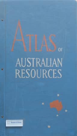
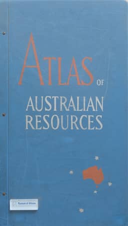
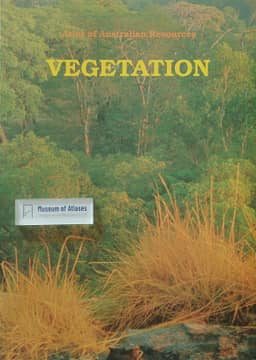
Atlas of Australian Resources, Third Series. Volume 6, Vegetation
Australia · 1990
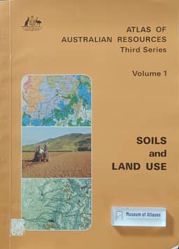
Atlas of Australian Resources, Third Series. Volume 1, Soils and Land Use
Australia · 1980
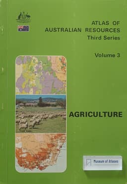
Atlas of Australian Resources, Third Series. Volume 3, Agriculture
Australia · 1982
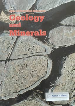
Atlas of Australian Resources, Third Series. Volume 5, Geology and Minerals
Australia · 1988
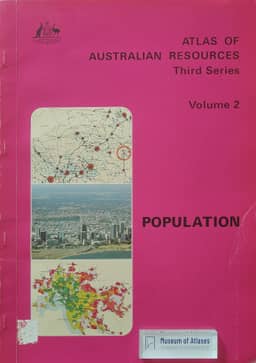
Atlas of Australian Resources, Third Series. Volume 2, Population
Australia · 1980
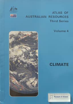
Atlas of Australian Resources, Third Series. Volume 4, Climate
Australia · 1986
Comments
Loading...
0/2000