
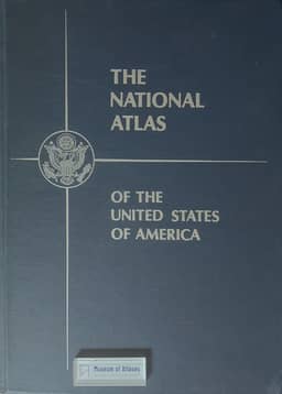
National Atlas of the United States of America
- Publication
- Bulletin of the Special Libraries Association Geography and Map Division
- Issue
- 66
- Pages
- 12-13
Summary
In this 1966 account, Arch C. Gerlach describes the preparation of the National Atlas of the United States of America, placing it within the tradition of national cartographic monographs. He traces the project from the American Geographical Society's 1950 prototype to a National Academy of Sciences committee's 80 thematic sheets issued during 1954–1961. Their uneven quality, incomplete coverage and dispersed availability prompted a recommendation to centralize responsibility; arrangements for Geological Survey leadership followed in late 1962. Specifications and standard plotting bases at 1:7,500,000, 1:17,000,000 and 1:34,000,000 were completed in fiscal 1963. Funding interrupted work in fiscal 1964, and compilation resumed in 1965. More than 40 federal agencies and other contributors supplied data, while the Survey handled scribing and reproduction. The planned bound atlas comprised about 400 pages covering physical geography, history, economic, social and cultural conditions, administration and world relationships, with detailed sectional maps at 1:2,000,000. Gerlach also describes a multilingual legend, a gazetteer-like index with coordinates and descriptive information, durable acid-free paper and adhesive binding. Individual maps were to be sold as completed; the bound volume was scheduled for completion in 1968.
Related Atlases
Comments
Loading...
0/2000