
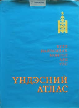
National atlas of Mongolia
Национальный атлас Монголии
- Publication
- Известия Российской академии наук: Серия географическая
- Issue
- 2
- Pages
- 130-131
Summary
Yu. P. Mikhailov reviews the National Atlas of the Mongolian People's Republic, compiled by Mongolian and Soviet scholars and cartographic services using joint research, government data and scholarly studies. Its scales range from 1:3,000,000 to 1:24,000,000, with 1:3,000,000 as the principal scale. The two main parts contain 148 maps of natural conditions and resources and 128 maps of population, the economy and social infrastructure. Thematically linked maps proceed from general surveys to more specific treatments, accompanied by analytical explanatory texts. Mikhailov values the atlas's numerous evaluative maps for assessing resources and development prospects, and considers its concept, developed under a planned economy, useful during market and administrative reforms. He notes that compilers favored familiar, accessible mapping methods, while regional source coverage was uneven. His criticisms concern unused space, missing coordinate grids and unsuitable representation methods. He raises particularly substantial questions about agricultural maps: unexplained conventional units on the agricultural-enterprises map and a water-supply map that depicts irrigation networks and watering sources without adequately measuring water availability. Despite these shortcomings, he judges the atlas a major contribution to geography and thematic and atlas cartography.
Comments
Loading...
0/2000