
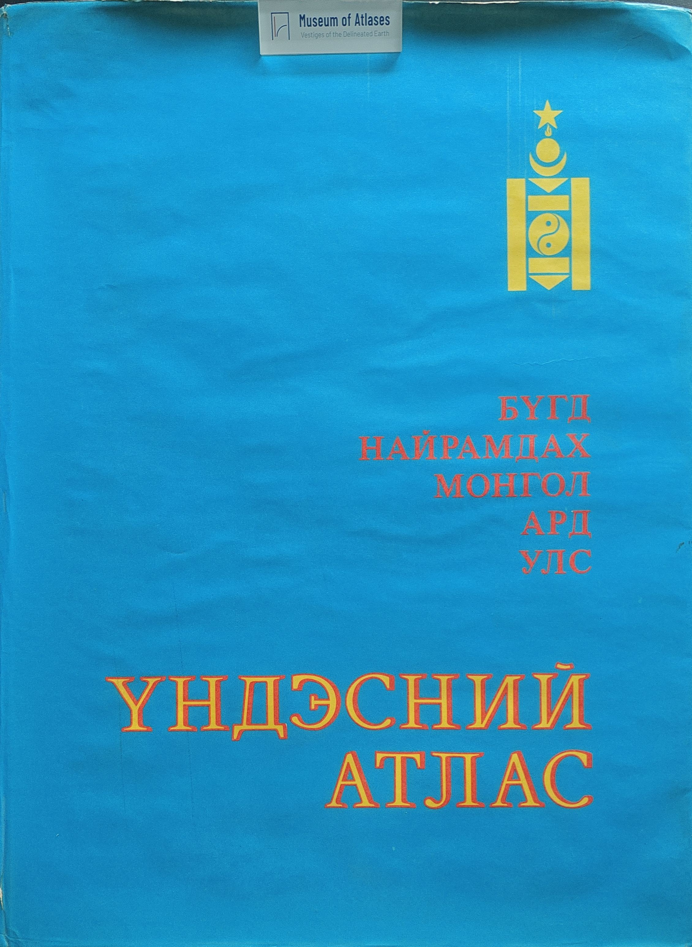
On the national atlas of the Mongolian People's Republic
О национальном атласе Монгольской Народной Республики
- Publication
- Геоботаническое картографирование 1985
- Pages
- 68–72
Summary
Karamysheva outlines the National Atlas of the Mongolian People’s Republic being prepared jointly by Soviet and Mongolian institutions, focusing on its vegetation section. The planned 40 × 50 cm atlas would contain approximately 300 maps on 120–150 sheets, covering nature and resources, population, the economy, and social development. Vegetation coverage comprises typological, regionalization, and plant-distribution maps. The prepared vegetation map at 1:3,000,000 revises the 1979 map using material from the preceding decade of joint expeditions. Its legend groups 142 mapping units into 17 major divisions, integrating geographical, ecological, and floristic distinctions. Refinements differentiate alpine tundra and Kobresia meadows, forest types and dominant tree species, cryophytic steppes, desertified and desert steppes, and extremely arid deserts, while identifying basin environments and regional affiliations. The article also describes Lavrenko’s revised phytogeographical regionalization, forest mapping, and distribution and resource maps of endemic plants, phytogeographical indicator species, and useful wild plants.
Comments
Loading...
0/2000