
The planning atlas of Australia
Der Planungsatlas von Australien
- Publication
- Petermanns Geographische Mitteilungen
- Volume
- 99
- Issue
- 2
- Pages
- 146–152
Summary
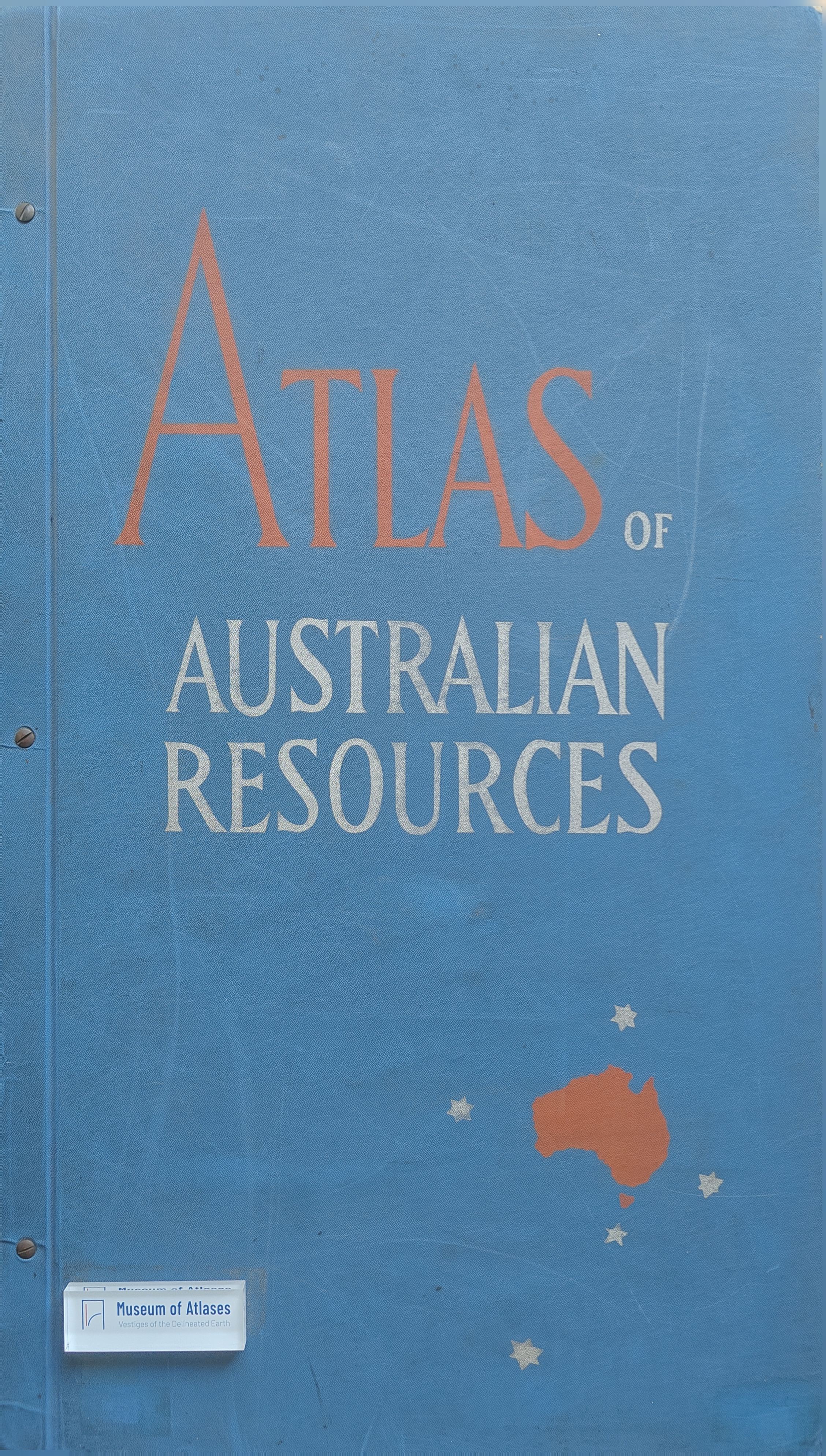
Konrad Frenzel describes the origins, compilation, design, and publication of the Atlas of Australian Resources within Australia's federal and state planning arrangements. He traces the regional surveys and mapping initiatives following the ministerial conferences of 1944 and 1946, including atlases and map series in Tasmania, Victoria, New South Wales, and the Murray Valley. At Commonwealth level, the Department of National Development's need for coordinated national information led from a proposed collection of existing maps to an atlas project begun in 1949. After two years of unsystematic material gathering, Frenzel's appointment, initiated by Grenfell Rudduck at the end of 1950, led to systematic organization and a December 1951 report specifying the maps' content and design. The atlas was planned to contain 60 maps covering physical, economic, and social resources and prospective development. At the time of the account, 20 maps and their commentaries were published or approaching publication, six maps were being drawn, and the remainder were in early preparation. Each map had an accompanying 8–20-page commentary booklet written by specialists to introduce its subject and provide supplementary information; together these were intended to form a handbook on Australia. Frenzel explains the common polyconic projection, the usual scale of 1:6,000,000, and the decision to retain Tasmania in its correct position. Design choices addressed uneven source coverage and the difficulty of depicting concentrated southeastern activity legibly within a national map. Compilation combined material from Commonwealth and state agencies, geographical preparation, cartographic drafting, review by contributing agencies, and separate-color drawing on Astralon. Multicolor offset printing was distributed among six private firms, with reproduction and printing taking five to ten months per map. Descriptions of individual sheets explain techniques for mapping relief, minerals, climate, water, soils, vegetation, agriculture, population, energy, transport, and development projects. Frenzel concludes that publicly supported cartography should be judged by its contribution to informed planning over time, and welcomes the atlas's provision of authoritative material for development, international cooperation, research, and teaching.
Related Atlases
Comments
Loading...
0/2000