
Book reviews: National Atlas of Afghanistan
- Publication
- Die Erde
- Volume
- 146
- Issue
- 2-3
- Pages
- 208-210
Summary
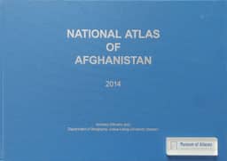
Eckart Ehlers gives a strongly positive review of the National Atlas of Afghanistan, assessing its compilation against decades of warfare, contested ethnic identities and limited access to reliable data. Cooperation with Sardar Kohistani and Kabul University facilitated access to the Afghan Geodesy and Cartography Head Office and other data providers; DAAD support and the German “Stability Pact Afghanistan” helped enable production. The atlas has 43 large-format map pages with facing explanatory texts, often supplemented by maps, diagrams and statistics. Its six sections cover natural conditions and resources, economy and agriculture, services, culture and history, the human dimension, and major cities. Ehlers highlights persistent agricultural patterns, informative health and education surveys, and city plans comparing contemporary urbanisation with earlier development. He praises the compilation and legible cartography while noting uneven explanatory texts, insufficient use of French-language and pre-war anthropological research, crude animal-distribution maps, and the absence of a map of nomadic groups and migration routes. He regards these limitations as minor. Ehlers presents the atlas as a reference for planning and education and, through its representation of Afghan identities, as a highly political contribution to state-building.
Comments
Loading...
0/2000