
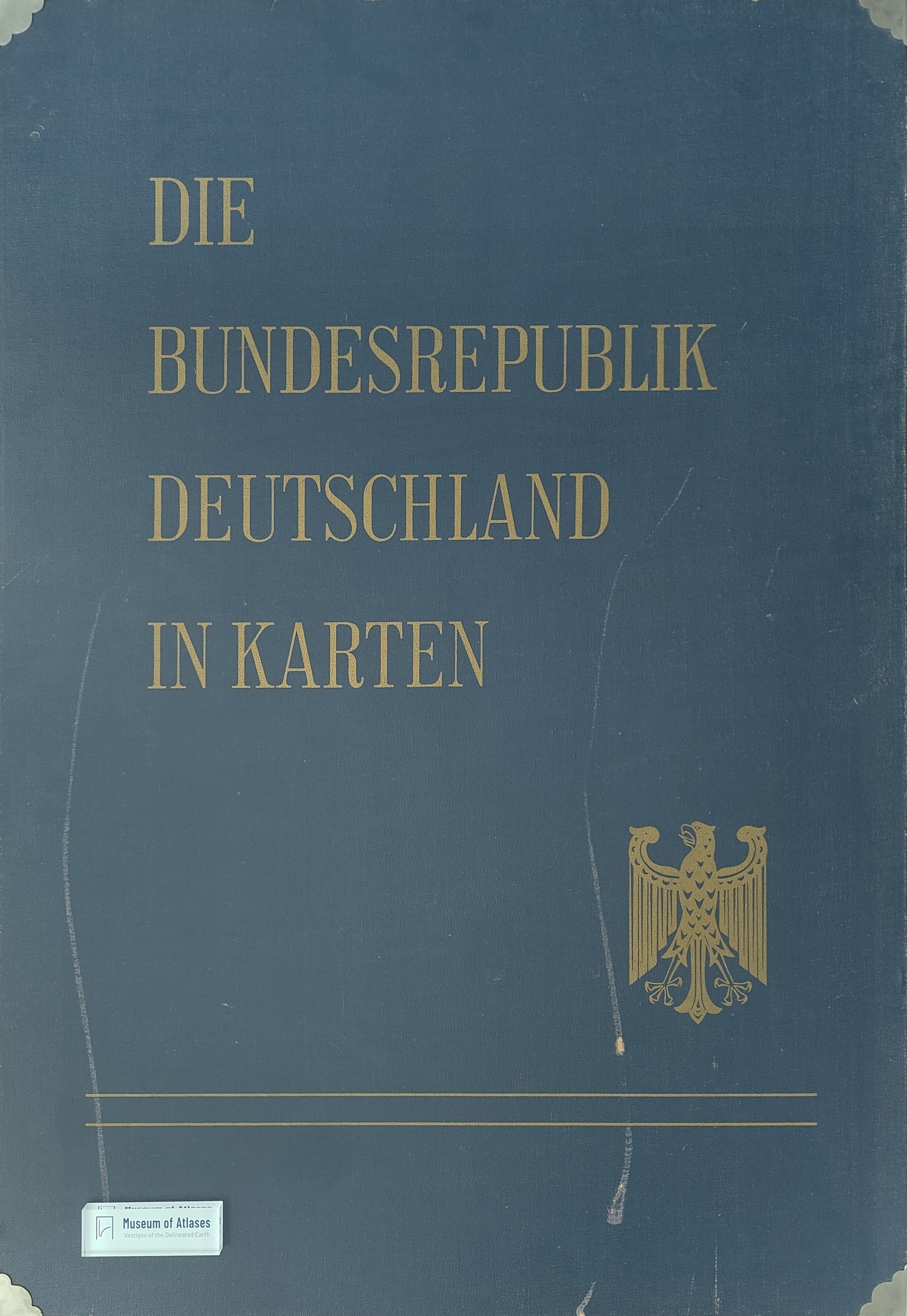
Atlas work: The Federal Republic of Germany in maps
Atlaswerk: Die Bundesrepublik Deutschland in Karten
- Publication
- Die Erde
- Volume
- 97
- Issue
- 4
- Pages
- 293–294
Summary
Karl Pries reviews the 1965 first installment of Die Bundesrepublik Deutschland in Karten, issued almost simultaneously with the Federal Spatial Planning Act. Published by the Federal Statistical Office, the Institute of Regional Geography and the Institute for Spatial Research, the atlas chiefly inventories West Germany using the 1960/61 censuses. Its planned coverage comprises about 130 maps on roughly 90 large sheets, with municipal maps at 1:1 million and district maps at smaller scales. Five thematic groups cover general overviews and administration, nature, population and public services, the economy, and spatial divisions; decimal numbering permits expansion. The first installment contains forty maps, including population, housing, agriculture, industry and federal assistance areas. Pries accepts the cumbersome sheet size as necessary for municipal detail and finds the maps already useful for economic policy and planning, although many still lack their wider thematic context. He highlights maps of new industrial locations and changing industrial employment. Given the short observation period, he cautiously suggests that preference for large agglomerations is weakening, while noting industrial dispersal, increasing industrialization of smaller locations and clear economic changes in the Ruhr. He sees these developments as consistent with spatial planning's aim of balancing town and countryside.
Related Atlases
Comments
Loading...
0/2000