
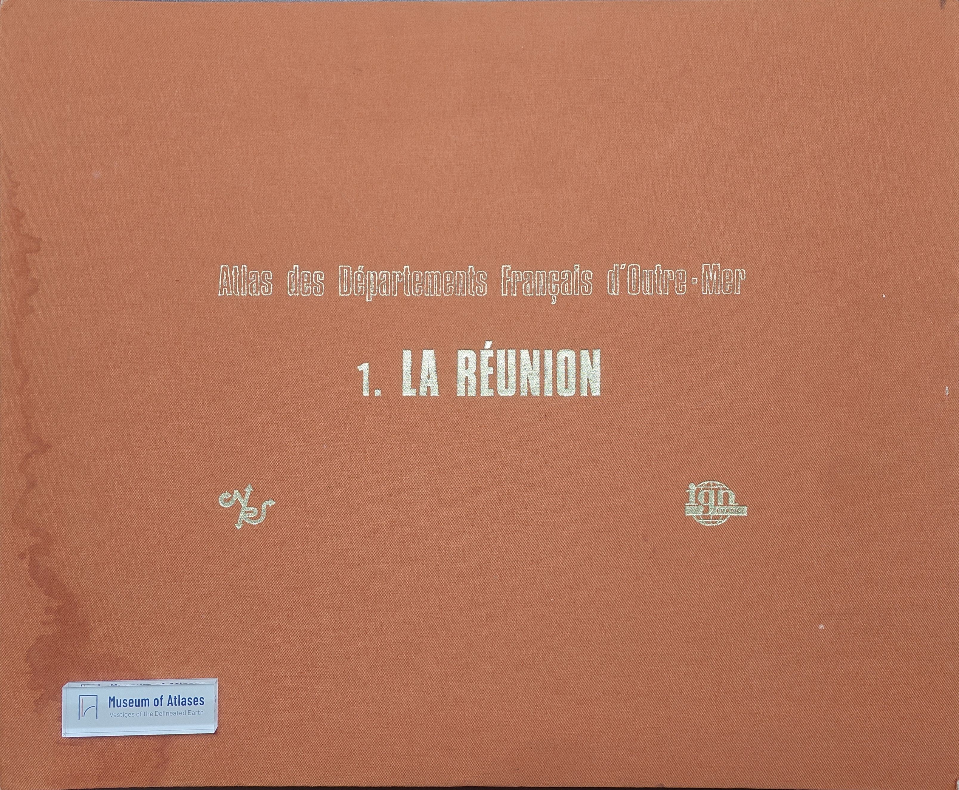
Atlas of Réunion: C.N.R.S. and I.G.N., atlas of the French overseas departments
Atlas de la réunion : C.N.R.S. et I.G.N., Atlas des départements français doutre mer
- Publication
- Annales de Géographie
- Volume
- 86
- Issue
- 475
- Pages
- 328-330
Summary
Jean Defos du Rau reviews the Atlas of Réunion, published in 1975 by the CNRS and IGN as the first volume in the atlas series for France’s overseas departments. Produced over five years by 36 specialists, it contains 37 colour plates and 32 commentaries, with principal maps at 1:150,000 covering physical environments, population, settlement, economic activities, and infrastructure. Its thematic selection adapts the metropolitan regional atlas model to island conditions. The reviewer praises the cartographic quality and detailed commentaries, highlighting representations of climate, soils, landholding patterns, migration, and rural settlement. He reads the maps as documenting population pressure, sugarcane monoculture, weak industry, and dependence on funds from metropolitan France, alongside improvements in infrastructure and social facilities since departmentalization in 1946. While noting the atlas’s extensive scale relative to the island’s size, he judges it highly successful and anticipates further volumes in the series.
Related Atlases
Comments
Loading...
0/2000