
Costa Rica
National Atlases
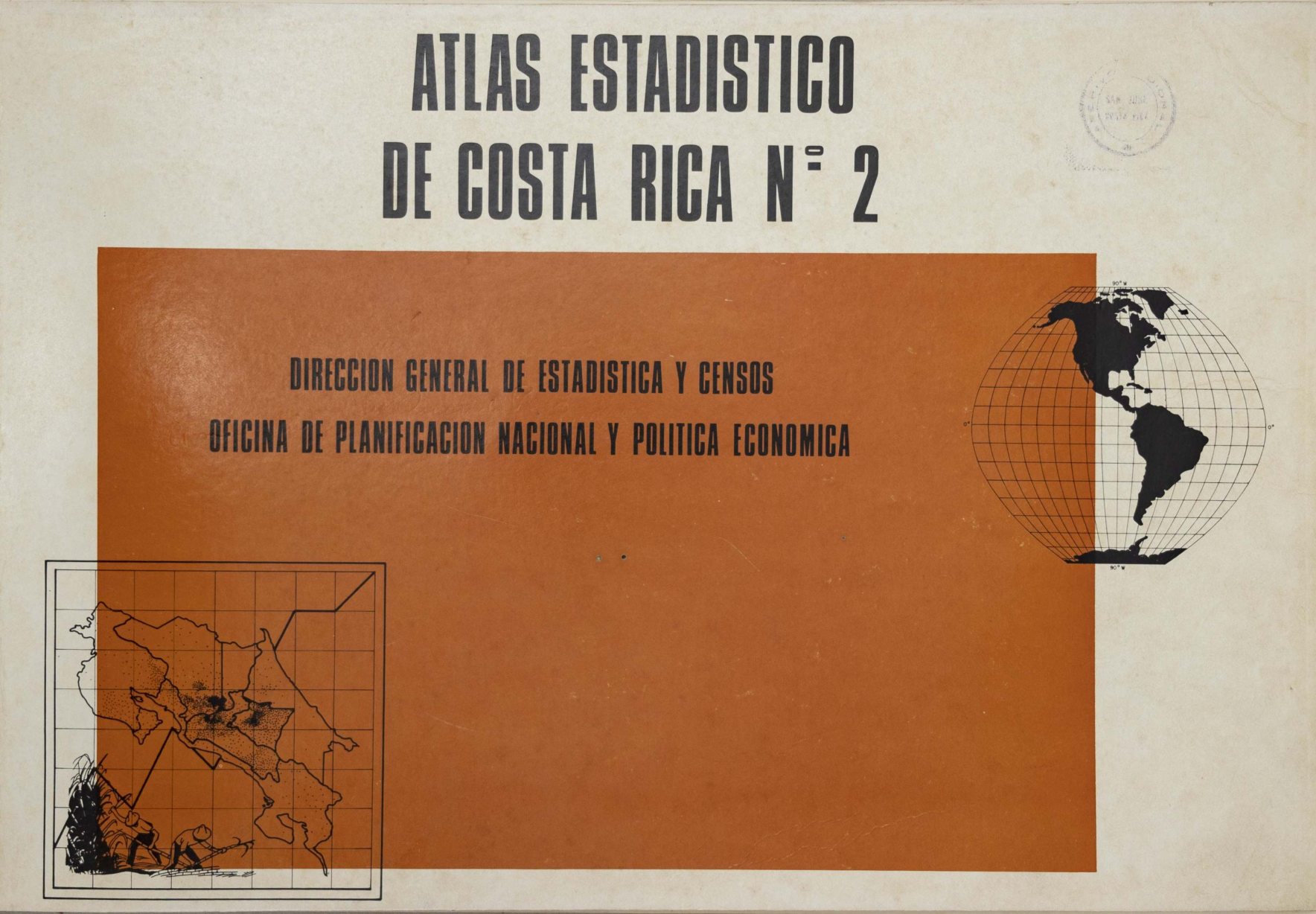
Costa Rica's national atlas tradition emerged in the mid-20th century, a period when the country was consolidating its statistical and cartographic institutions. The two volumes in this collection, published in 1953 and 1981, both titled *Statistical Atlas of Costa Rica*, reflect a deliberate effort to integrate demographic, economic, and geographic data into a single national reference. The 1953 edition, produced by the Dirección General de Estadística, established a precedent for using maps as a tool for state planning and public information. Its 1981 successor continued this approach, updating data and refining visual presentation to reflect changes in population, land use, and infrastructure. The editorial style is characterized by thematic clarity, with each map accompanied by statistical tables and brief explanatory notes, making the atlas accessible to both policymakers and the general public. Though limited in number, these atlases served as foundational documents for later geographic and statistical publications in Costa Rica, and they remain valuable historical records of the nation's mid-century development. Their legacy lies in normalizing the use of cartography in administrative and academic contexts, a practice that persists in the country's modern mapping initiatives.
Versions and Their Documents
Contemporary and Later Comment
- Journal Article1957National atlases: a summary
Ena L. Yonge
This article provides a comprehensive review of national atlases published worldwide up to the time of writing. It notes that since the Geographical Review first coined the term 'Age of National Atlases' in 1940, the surge of nationalism after World War II has greatly accelerated the production and scope of such atlases. The author surveys 26 published national atlases and 3 in preparation. The article first emphasizes that a national atlas aims to portray all aspects of a country—physical, economic, and social—and highlights a welcome trend: the inclusion of map titles, legends, and text summaries in English or French for atlases published in less familiar languages. The review is then organized by region. For Europe, it details atlases from Austria (Atlas von Niederösterreich), Belgium (Atlas de Belgique), France (revised Atlas de France), and Germany (Deutscher Planungsatlas, specifically Atlas von Berlin), among others, discussing their institutional backing, content structure, scales, cartographic techniques, and unique features, such as Berlin's depiction of wartime damage and postwar development, and Belgium's detailed demographic and agricultural maps. Atlases from Czechoslovakia, Denmark, Finland, Italy, and Norway are also mentioned. For Africa, the planned Atlas du Maroc is described. For Oceania, the Atlas of Australian Resources is reviewed, highlighting its origin in post-war resource assessment, its effective use of a large scale, and its focus on water resources and population distribution. For North America, the article reports on the progress of a Canadian national atlas and the initiation of the National Atlas of the United States, a collaborative federal effort to compile standardized thematic maps from various government agencies. The article concludes that these national atlases represent significant achievements in geographic and cartographic scholarship, serving as invaluable resources for students, planners, and businesses.
From the Physical Collection
Photographs are being prepared for this hall.